Hover your mouse for a group’s name and location, then click to visit their Web site:
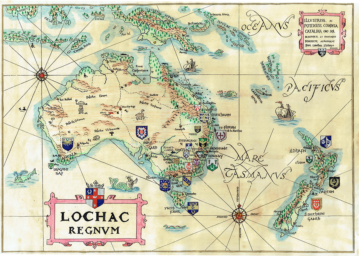
This representation has been adapted and updated by Master Nicodemus Novello and Lord Ronan mac Brian from a hand-drawn chart originally created by Baron Benedict Stonhewer of Askerigg, to all of whom much thanks and credit is due. Baron Benedict gives his blanket permission for anyone who may wish to copy the map therein as long as he is named as the creator of the map.
If you prefer to search for a group by name, visit the groups page. There is a detailed Google Map, but it is out of date. Suggestions and comments should be sent to the Kingdom Webwright.